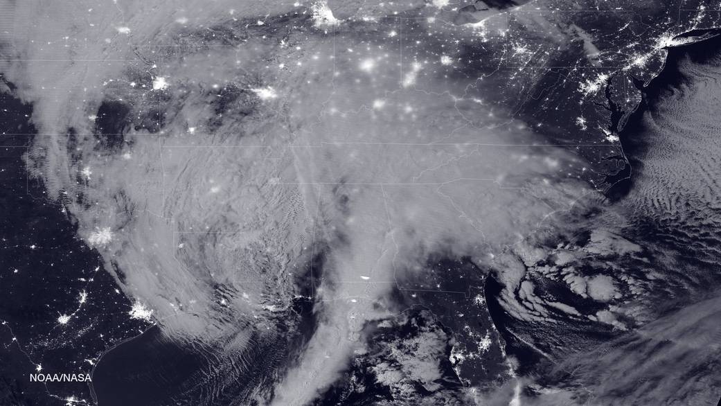
Figure 1 – Night image of blizzard bearing down on the East coast of the United States NASA-NOAA’s Suomi NPP satellite snapped this image of the approaching blizzard around 2:35 a.m. EST on Jan. 22, 2016 using the Visible Infrared Imaging Radiometer Suite (VIIRS) instrument’s Day-Night band. Credit NOAA/NASA.
As Hati and Skoll goes to press – so to speak, people along the East coast of the United States are awaiting Snowzilla 2, which is already hitting the southern states and threatens to dump as much as three feet of snow in Washington, DC. The Boston area happily, is not expecting for than a dusting.
But significantly the NOAA and NASA have just released the spectacular image of Figure 1 showing the massive storm ominously hovering over beautifully illuminated cities. I could not resist the post. Stay safe and warm eastern readers and have fun in the snow – just remember to use a little positive exposure compensation if you take photographs.
